If you thought spring was creeping up, think again.
Environment and Climate Change Canada has issued a special weather statement warning that a significant return to winter is on the way and it's arriving fast.
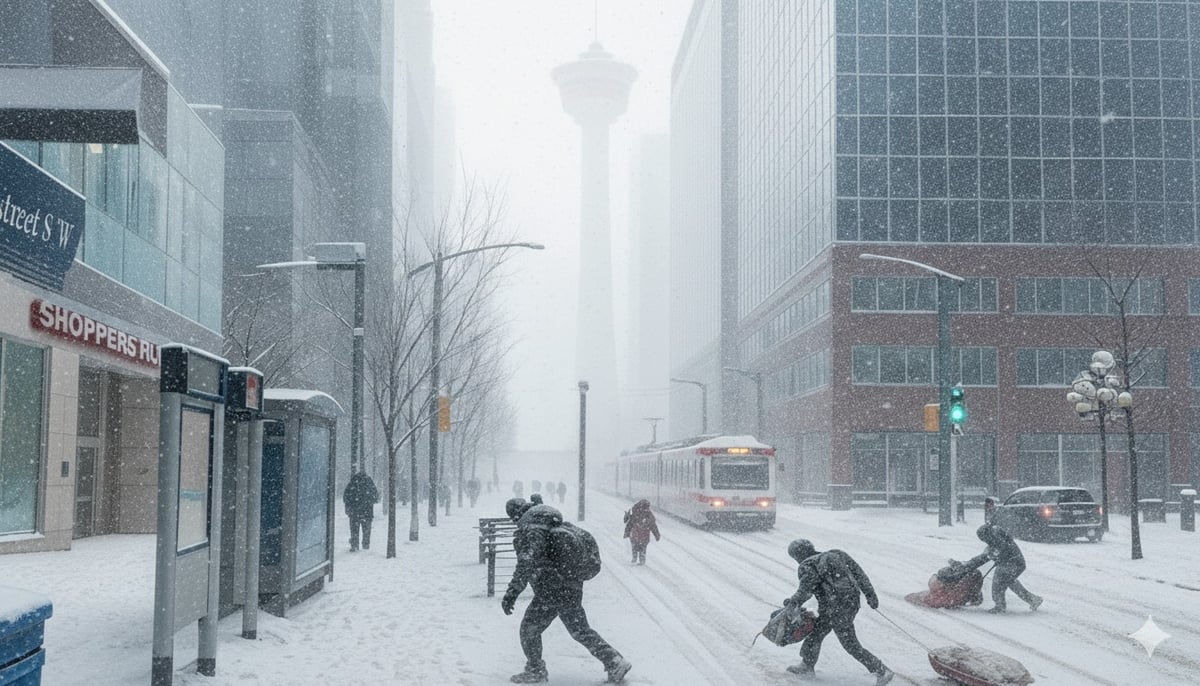
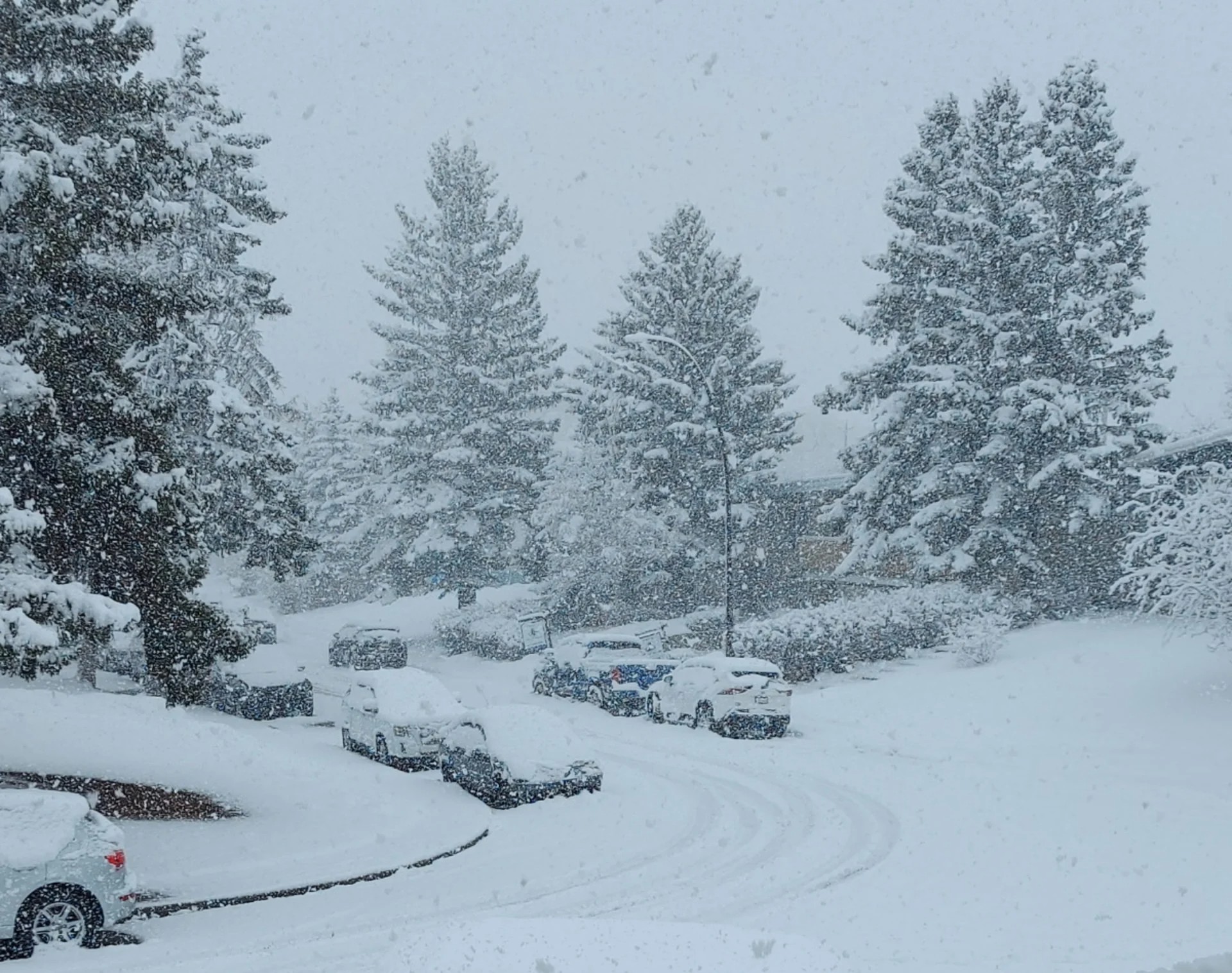
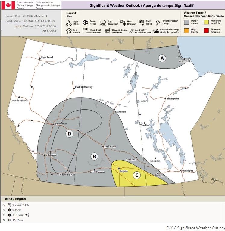
Snow is expected to start Monday and carry through Tuesday, with total accumulations of 10 to 20 cm by Wednesday. Forecasters are warning that totals could vary significantly across the region, with some local areas potentially seeing up to 30 cm.
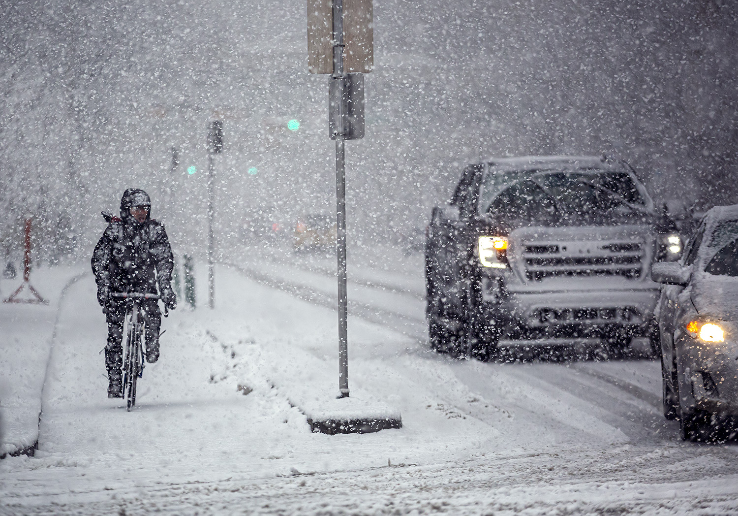
Blowing snow is also in the forecast for Tuesday across open areas in central and southern Alberta, including along Highways 1, 2, and 16. Visibility is expected to be poor in those stretches.
If you have to be on the road this week, give yourself extra time and drive to the conditions.
Dig out the shovels, charge your boosters, and maybe grab a few extra groceries. Winter is back.
Source: Environment and Climate Change Canada, Special Weather Statement City of Calgary, issued February 15, 2026. weather.gc.ca