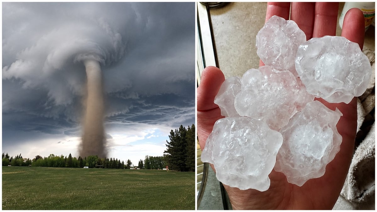
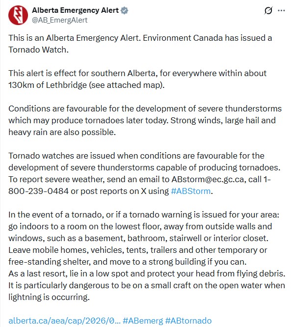
Southern Alberta is under a tornado watch, with storms expected to fire up later today.
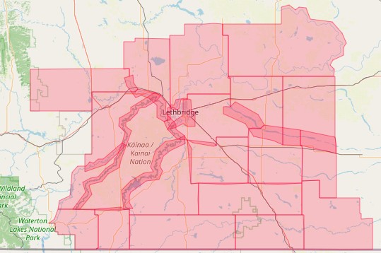
Environment Canada issued the watch for a wide stretch of the south, everywhere within roughly 130 kilometres of Lethbridge. That takes in Lethbridge itself and much of the surrounding region. Conditions are favourable for severe thunderstorms that could produce tornadoes later today, the agency says, along with strong winds, large hail and heavy rain.
When are the storms expected?
The alert says storms could develop "later today," which in Alberta's summer pattern typically means the afternoon and evening, when the day's heat has built enough energy to fire off severe cells. That's the usual window for these systems, roughly mid-afternoon onward, with the threat often carrying into the overnight hours as storms track east.
It's worth checking the radar and the forecast for your specific town through the day rather than watching for one set hour. A watch covers a large area and a long stretch of time, and the storms will develop and move rather than hit everywhere at once.
What to do right now, while it's still a watch
This is the useful part of a watch: you have time to act before anything happens.
Charge your phone, so you'll still get alerts if the power goes out. Bring in or tie down anything loose in the yard, patio furniture, trampolines, and umbrellas become projectiles in high wind. Get vehicles into a garage or under cover if you can, since hail damage is the most common outcome of these storms. Bring pets indoors now, not once it's rolling. And take a second to figure out which room you'd shelter in, so nobody's deciding that when the sky turns.
If you're a farmer or rancher, you already know the drill, but it's peak season for hail damage to canola and wheat, and there's little to do but hope the worst cells miss.
Where to go if a warning is issued, or if you see a tornado
If a tornado warning is issued for your area, or if you see a tornado coming regardless of any official warning, take cover immediately. Don't wait for confirmation.
Go indoors, to a room on the lowest floor, away from outside walls and windows. A basement is best. Failing that, a bathroom, stairwell or interior closet.
Leave mobile homes, vehicles, tents and trailers. They offer no protection, and they're where most tornado deaths happen. Move to a strong building if you can. As a last resort, lie in a low spot and protect your head from flying debris.
If you're on the water in a small boat, get to shore. Open water during lightning is one of the most dangerous places to be.
How will you actually know if it becomes a warning?
This is the question that matters most, because a warning can come fast.
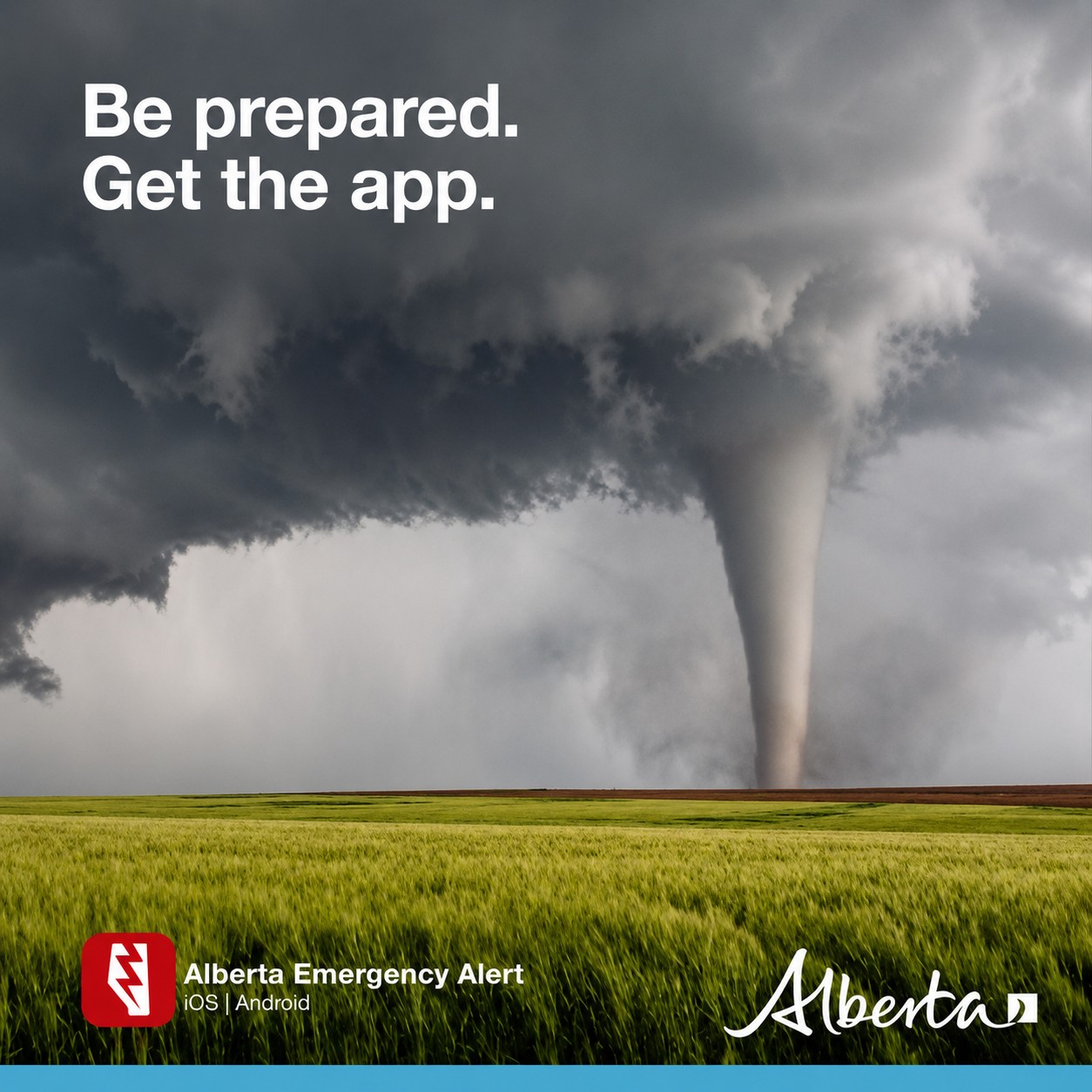
Alberta Emergency Alert pushes the most serious warnings straight to your phone automatically, no app or sign-up needed, the same system that delivers the loud emergency tones. That's your primary early notice. Beyond that, Environment Canada's alert page at weather.gc.ca carries the live watches and warnings for your exact location, and local radio and TV break in for tornado warnings.
The practical move: keep your phone on and charged, and don't silence it this afternoon. If it goes off with a tornado warning, that's not the moment to check whether it's real, it's the moment to move.
What these storms can actually do
"Severe thunderstorm" covers a lot of ground, so here's what the four hazards actually look like.
Large hail is the most common damage-maker in southern Alberta. Stones the size of golf balls or bigger dent vehicles, break windows, shred siding, and strip a field in minutes. Strong straight-line winds, not just tornadoes, can top 100 kilometres an hour, enough to bring down branches and power lines and flip anything loose. Heavy rain in a short burst floods underpasses and low streets quickly. And the tornado, while the least likely of the four, is the reason for the watch: today's conditions can support one, so it has to be taken seriously even if none forms.
You don't need a tornado to have a rough afternoon in one of these. The hail and wind alone are worth getting the car under cover for.
The one upside: the south badly needs the rain
There's an unusual silver lining here.
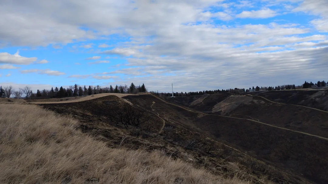
Southern Alberta is in the middle of a hot, bone-dry stretch that has fire crews on edge. Lethbridge has a fire ban in its River Valley, the city's wildfire danger is rated "very high," and the country around Medicine Hat has been fielding grassfires all year. The heavy rain these storms can bring is exactly what the region needs to knock that fire danger down.
It's a real trade-off, though. The same storms carry hail that can flatten crops at the worst possible time of year for it. And there's a catch with the lightning: if strikes come ahead of the rain, or from cells that produce little of it, they can start fires in cured grass rather than putting them out. A soaking would help. A dry strike on parched land would not.
A watch is not a warning
A watch means the ingredients are in place. The atmosphere is unstable enough that a tornado could form, but nothing has been spotted yet. A warning means a tornado is happening or is about to, and those can come with less than half an hour's notice.
Right now this is a watch. That's the window to get ready while there's still time, before conditions change and the decisions get harder to make.
Reporting severe weather
If you see a tornado, funnel cloud, large hail or damaging wind, Environment Canada wants to hear about it, reports from the ground help confirm what radar can't. Email ABstorm@ec.gc.ca, call 1-800-239-0484, or post on X using #ABStorm.
We'll update this story if the watch is upgraded to a warning.
Sources:
Alberta Emergency Alert, tornado watch for southern Alberta, issued July 16, 2026 (@AB_EmergAlert)
Environment and Climate Change Canada, tornado watch statement (weather.gc.ca)
City of Lethbridge, River Valley fire ban and wildfire danger rating





Comments
Conversation