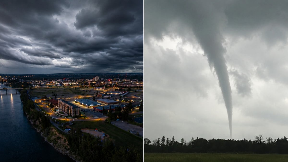
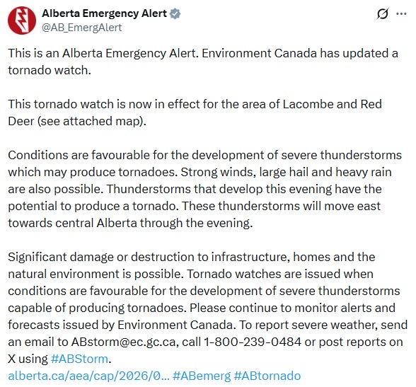
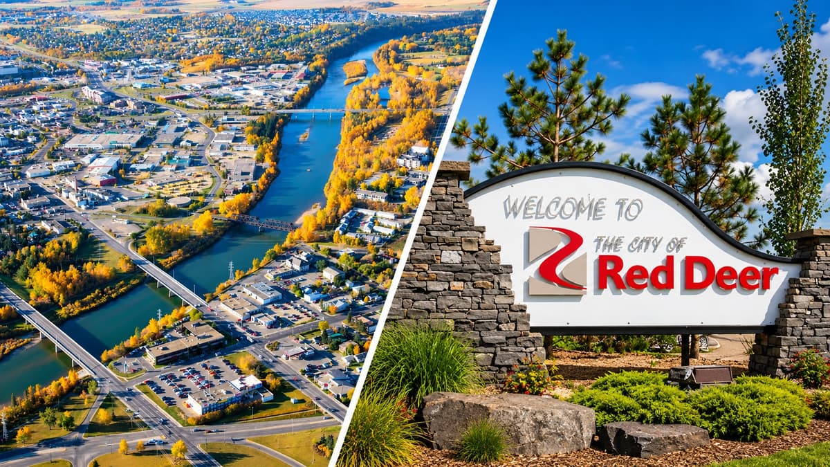
The tornado watch that covered much of central Alberta on Tuesday has moved south, and it now sits over Red Deer and Lacombe.
Environment Canada updated the watch late Tuesday evening. It covers the City of Red Deer, Lacombe County, and a wide band of central Alberta including Ponoka County, Stettler County and parts of Camrose County.
Conditions are favourable for severe thunderstorms capable of producing tornadoes, the agency says. Strong winds, large hail and heavy rain are all possible alongside that. Storms developing this evening have the potential to produce a tornado, and they will track east across central Alberta through the night. Environment Canada warns significant damage or destruction to infrastructure, homes and the natural environment is possible.
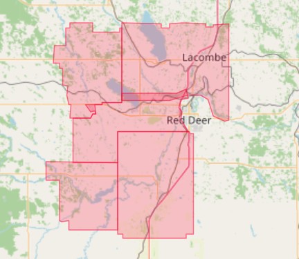
The communities in the watch
The updated watch covers a stretch of central Alberta running east and south of Red Deer.
Named in the alert are the City of Red Deer, Lacombe County near Clive, Alix and Mirror, Red Deer County near Pine Lake, Elnora, Lousana and Delburne, Ponoka County near Ponoka and Maskwacis, Camrose County near Bashaw and Meeting Creek, and much of Stettler County, including areas near Stettler, Big Valley, Donalda, Botha, Byemoor and Endiang.
Forecasters had flagged this region as the highest-risk zone for the evening well before the update, with the area around Red Deer singled out as the most likely place for an isolated tornado to form.
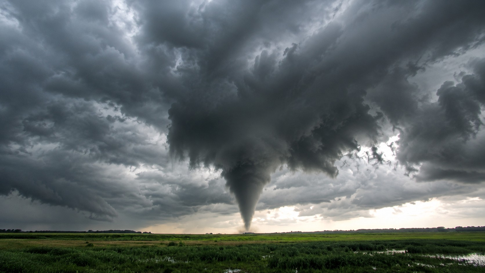
Why central Alberta keeps taking the hits
If it feels like Red Deer and the surrounding counties have been in the path all summer, that isn't just an impression.
Storms build over the foothills near Rocky Mountain House and Sylvan Lake in the afternoon heat, then roll east across the open farmland around Red Deer, Lacombe and Stettler with little to slow them down. Flat, exposed country doesn't break a storm up the way mountains or dense forest can. It lets a cell organize, and organized cells are the ones that drop large hail and spin up tornadoes.
The QE2 corridor runs right through the middle of it, which is part of why these watches keep naming the same towns. And this is farm country, so a severe storm here isn't only a threat to people. Large hail can flatten canola and wheat in minutes, and mid-July is when those crops are most exposed. For a lot of central Alberta families, a bad hailstorm is both a safety event and a financial one.
That's the backdrop tonight. The storms forming west of Red Deer this evening are moving into the most storm-prone corner of the province, in the middle of its most storm-prone month.
A watch is not a warning
A watch means the ingredients are there. The atmosphere is unstable enough that a tornado could form. Nothing has been spotted yet.
A warning means one is happening, or is about to, and those can arrive with less than half an hour of notice.
Right now this is a watch, and that is the window to use. Charge your phone. Bring in anything loose in the yard. Get vehicles under cover if you can. And decide where in your home you would shelter, because that decision is much harder to make once the sky turns and your phone starts screaming.
Where to go if a warning is issued
Go indoors, to a room on the lowest floor, away from outside walls and windows. A basement is best. Failing that, a bathroom, stairwell or interior closet.
Leave mobile homes, vehicles, tents and trailers. They offer no protection. Move to a strong building if you can.
As a last resort, lie in a low spot and protect your head from flying debris.
If you hear a roar or see a funnel cloud, swirling debris near the ground, or any threatening weather approaching, take cover immediately. Don't wait to be sure.
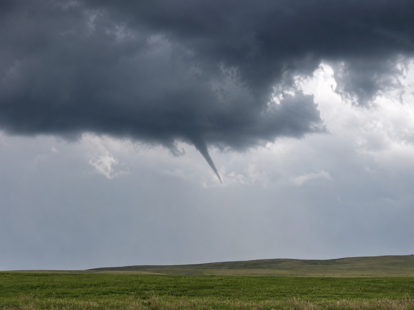
Part of a week of Alberta storms
Tonight's watch is the latest in a run of near-daily severe weather across the province.
Two tornadoes were confirmed on July 8, one of which tore through the Dillberry Lake Provincial Park campground and sent three people to hospital. The Northern Tornadoes Project has confirmed 57 tornadoes across Canada this year, 46 of them on the Prairies, a pace its director says the country hasn't seen this early since the 1980s. Alberta is up more than 50 per cent on last year, and it's only mid-July.
It isn't over. Forecasters expect the severe threat to carry into Wednesday, with more storms possible across central and northern Alberta.
How to stay informed
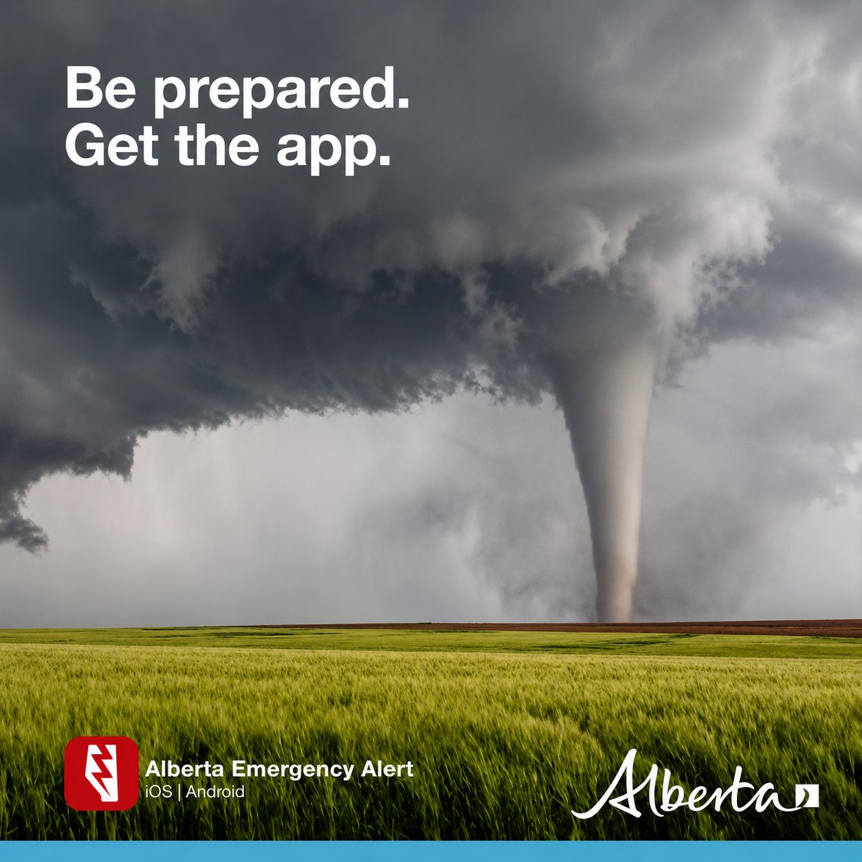
Alberta Emergency Alert pushes the most serious warnings straight to your phone. Environment Canada's alert page at weather.gc.ca carries the live watches and warnings for your exact location.
To report severe weather, Environment Canada takes reports at ABstorm@ec.gc.ca, by phone at 1-800-239-0484, or on X using #ABStorm.
We will update this story if the watch is upgraded to a warning.
Sources:
Alberta Emergency Alert, updated tornado watch for Red Deer and Lacombe, issued July 14, 2026 (alberta.ca/aea)
Environment and Climate Change Canada, tornado watch statement, July 14, 2026 (weather.gc.ca)
Northern Tornadoes Project, Western University, 2026 season tornado counts








Comments
Conversation