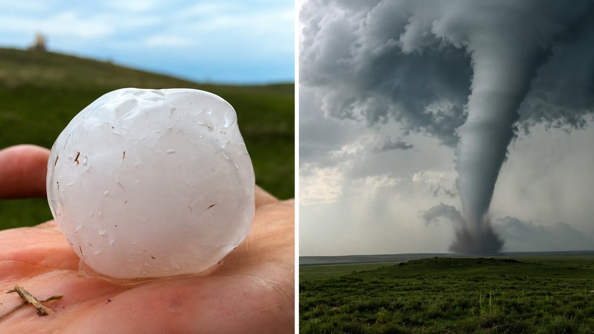
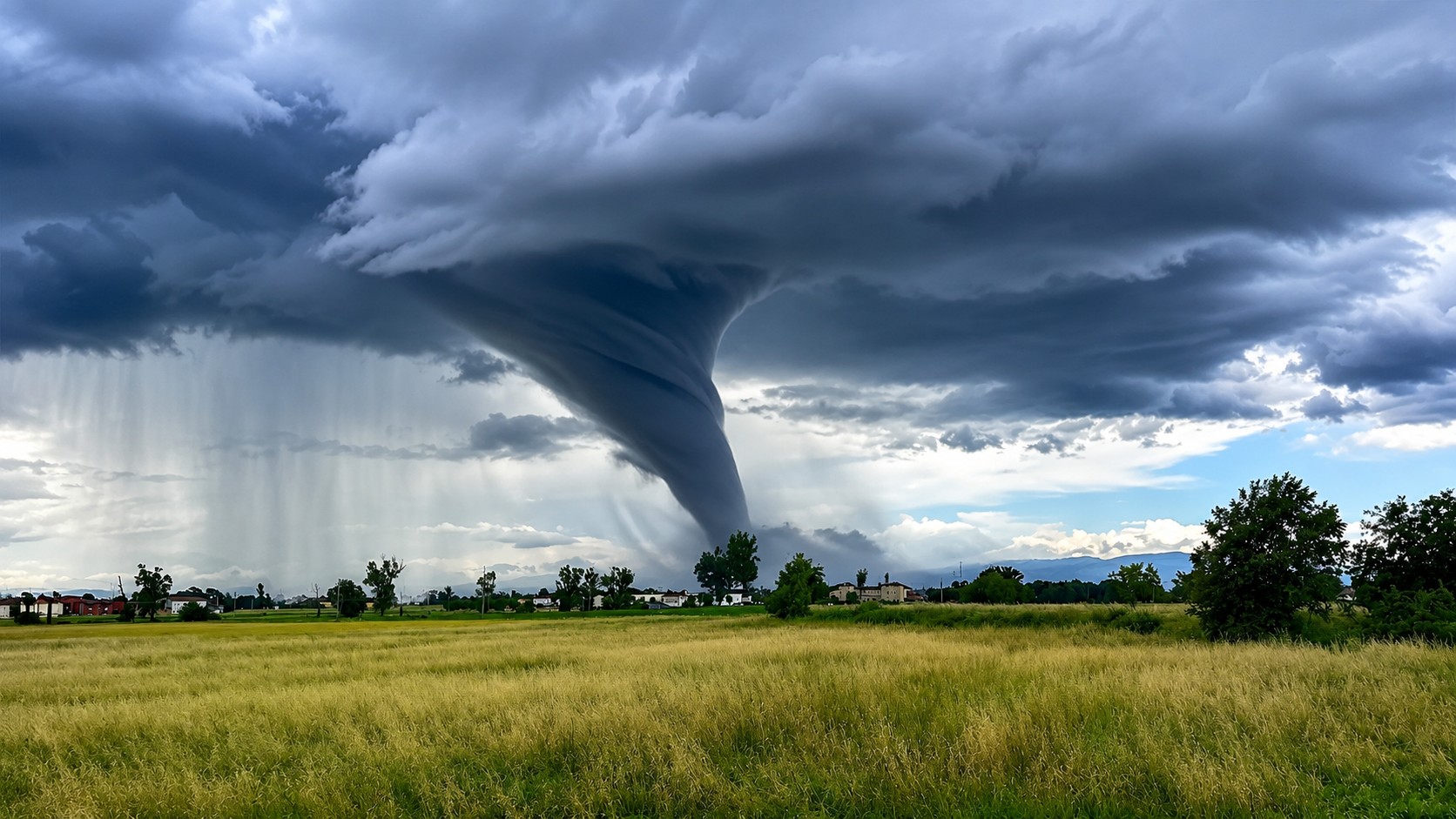
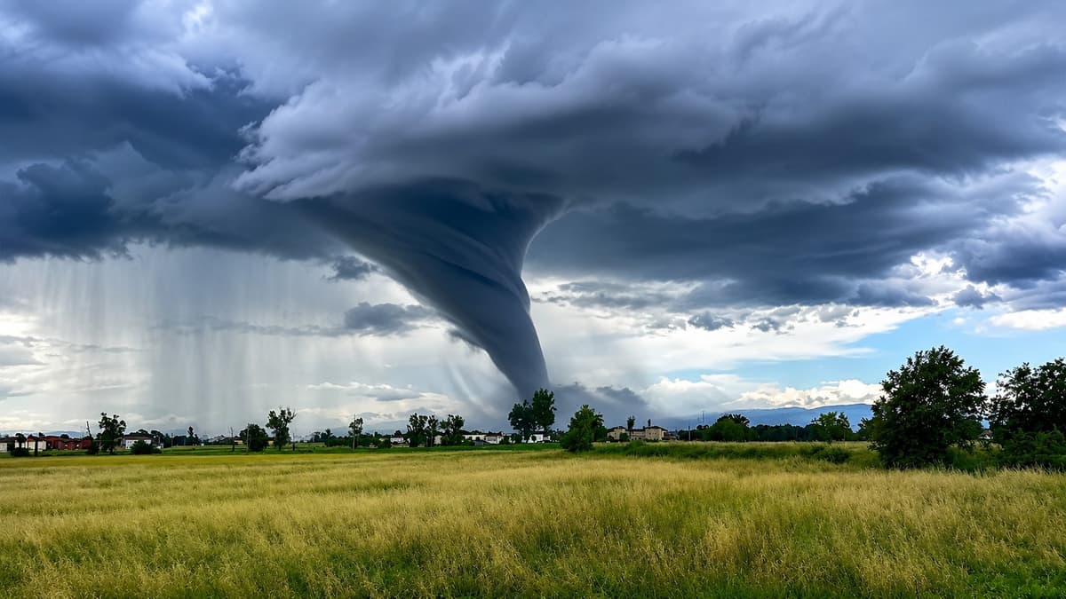
Central Alberta is under a tornado watch, and the hours to watch closely are this afternoon and evening.
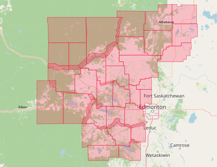
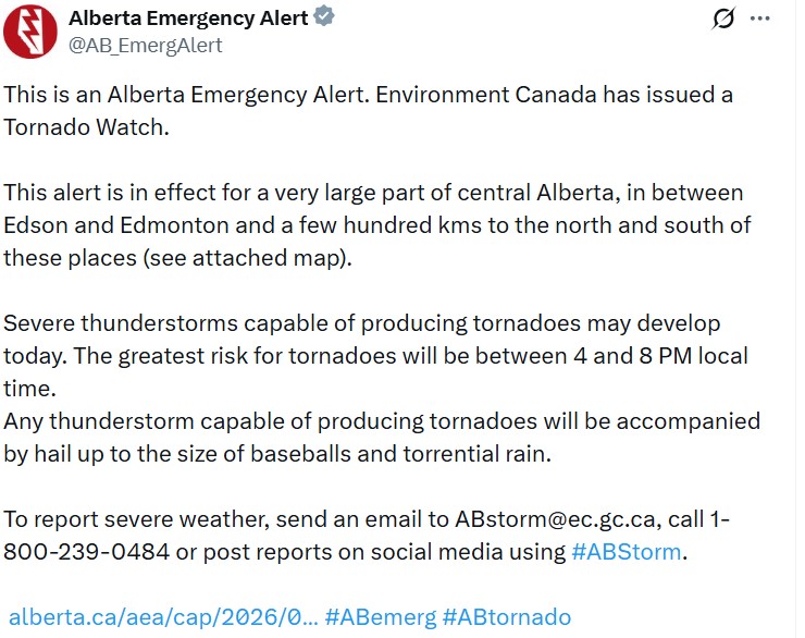
Environment Canada issued the watch at 12:45 p.m. Tuesday, delivered as an Alberta Emergency Alert, covering a very large part of central Alberta, the zone between Edson and Edmonton and a few hundred kilometres north and south. Severe thunderstorms capable of producing tornadoes may develop through the day, with the greatest risk between 4 and 8 p.m. local time, and hail up to the size of baseballs along with torrential rain.
The communities under the watch
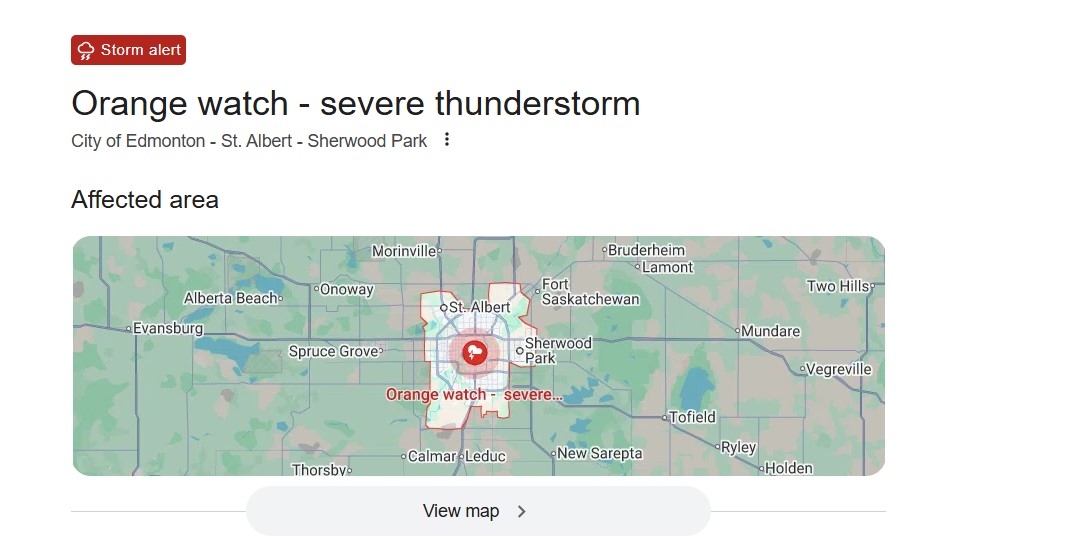
The alert names a long list of communities west, north and south of Edmonton. Among them: Spruce Grove, Stony Plain and the rest of Parkland County, Morinville, Legal and Sturgeon County to the north, and Devon, Calmar, Thorsby, Warburg and Leduc County to the south. It stretches west to Drayton Valley and Brazeau County, out to Wabamun and Alberta Beach, and north toward Whitecourt and Swan Hills.
The City of Edmonton itself sits under a severe thunderstorm watch rather than the tornado watch, with Environment Canada advising city residents to be ready for severe storms into the evening. The tornado risk is concentrated in the areas around the city, not the core.
How the storms are expected to move
Forecasters have a fairly clear read on the day's setup. The storms are expected to begin in the afternoon along the northern foothills near Grande Prairie and Edson, then mature and intensify by early evening as they track toward the Edmonton region and Slave Lake.
From there they move northeast through the evening, carrying a damaging-wind risk overnight toward Fort McMurray and Cold Lake. The Weather Network pegs the main threats at hail up to six centimetres, larger than a golf ball, and winds topping 110 km/h, with a couple of tornadoes possible early in the evening north of Edmonton, where low-level moisture and a strong jet stream overhead line up. If a tornado forms, the window is most likely that 4-to-8 p.m. stretch.
Watch versus warning, and what to do now
A tornado watch is not a tornado warning, and the difference decides what you do. A watch means conditions are right for tornadoes to form, the "be ready" stage, over a large area for a block of hours. A warning means a tornado has been spotted or is imminent in a specific place, the "take cover now" stage.
Right now this is a watch. The move is to stay alert, keep a way to receive alerts close, and know where you'd shelter if a warning comes. If a warning is issued for your area, Alberta Emergency Alert's instruction is direct: go indoors to a room on the lowest floor, away from outside walls and windows, a basement, bathroom, stairwell or interior closet. Cover your head. A vehicle and a mobile home are not safe shelter, get to a solid building if you can, and don't try to outrun a tornado on rural roads.
Alberta has done this before, almost to the day
For anyone in the Edmonton area feeling like the sky has been relentless, there's a heavier piece of history sitting under today's date.
On July 31, 1987, an F4 tornado tore through eastern Edmonton and Strathcona County with winds around 400 km/h. It killed 27 people, injured hundreds, and is remembered simply as Black Friday. That was 39 years ago this week, one of seven tornadoes that touched down in central Alberta the same day. Tornadoes here are rare, but they are not hypothetical, and late July is exactly when the province's most destructive one struck. It's the reason an alert like today's is worth taking seriously even in a summer when the warnings have come often.
A summer Alberta won't forget
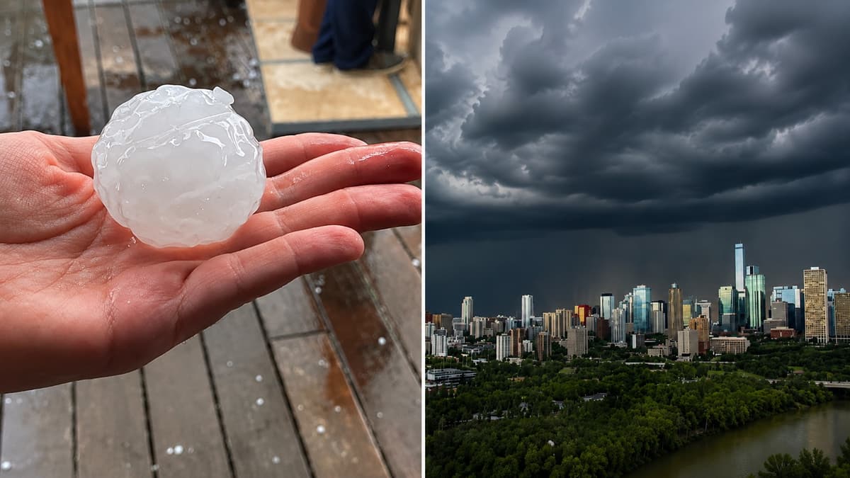
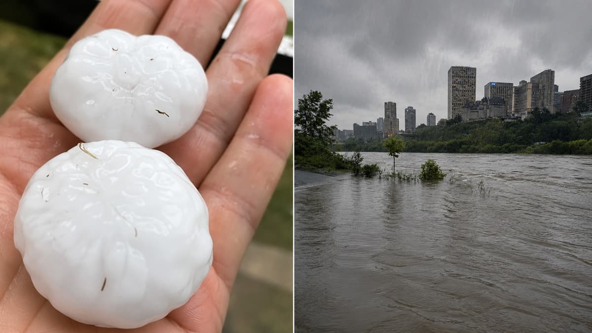
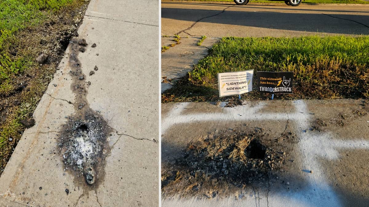
Today's watch caps the wildest weather stretch central Alberta has seen in years. The Edmonton region has recorded more than 655 millimetres of precipitation since the start of 2026, June was the wettest ever recorded in the city, and the storms haven't let up. This past weekend alone, a Saturday storm dropped baseball-sized hail and cut short Post Malone's concert at Commonwealth Stadium, then Sunday and Monday storms flooded roads and closed Whitemud Drive. Lightning even blew a crater into a north Edmonton sidewalk the University of Alberta now wants to study. Insurers have tallied an estimated $230 million in damage from the Edmonton storms.
Whether today's tornado watch amounts to anything or passes quietly, it's one more entry in a summer that's already rewritten the city's weather records. Our recent coverage: the Post Malone washout (https://www.culturealberta.com/articles/post-malone-edmonton-concert-cancelled-storm-floods-commonwealth-stadium) and the weekend flooding (https://www.culturealberta.com/articles/severe-storm-floods-edmonton-surrounding-areas-loonie-hail-wettest-summer-on-record).
The hail and rain are hazards on their own
Even where no tornado touches down, these storms can do real damage. Hail up to six centimetres falls fast enough to break windshields, dent vehicles and roofs, and injure anyone caught outside. Torrential rain floods roads in minutes and cuts visibility to nothing, and in a summer where central Alberta has flooded repeatedly, saturated ground means water pools fast and deep.
If the hail starts, get inside and away from windows. If you're driving, don't stop under an overpass, and never drive into water pooling on the road, it's deeper and moving faster than it looks.
Keep checking, this is a fast-moving evening
Watches and warnings will change through the evening as storms develop and move. The live picture for your exact location is at weather.gc.ca, on the WeatherCAN app, or through the Alberta Emergency Alert app, which pushes life-threatening alerts straight to your phone.
To report severe weather, email ABstorm@ec.gc.ca, call 1-800-239-0484, or post with #ABStorm.
Sources:
Alberta Emergency Alert / Environment and Climate Change Canada, tornado watch for central Alberta, July 28, 2026: https://www.alberta.ca/aea/cap/2026/07/28/2026-07-28T12_45_12-06_00=cap-pac@canada.ca=urn_oid_2.49.0.1.124.2127139955.2026.htm
Environment and Climate Change Canada: https://weather.gc.ca





Comments
Conversation