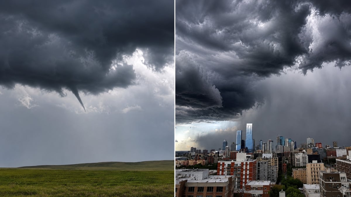
Alberta is under another tornado watch, and this one runs right through the middle of the province.
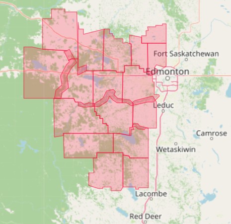
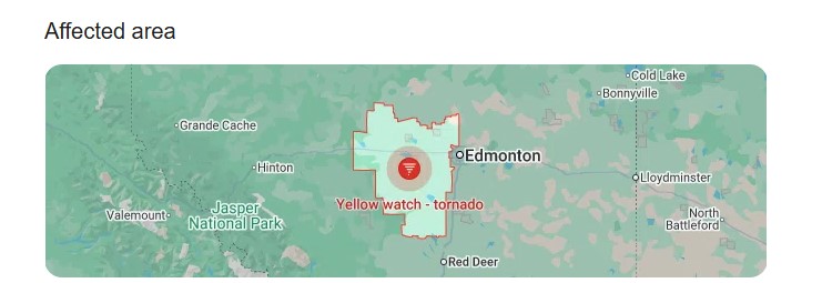
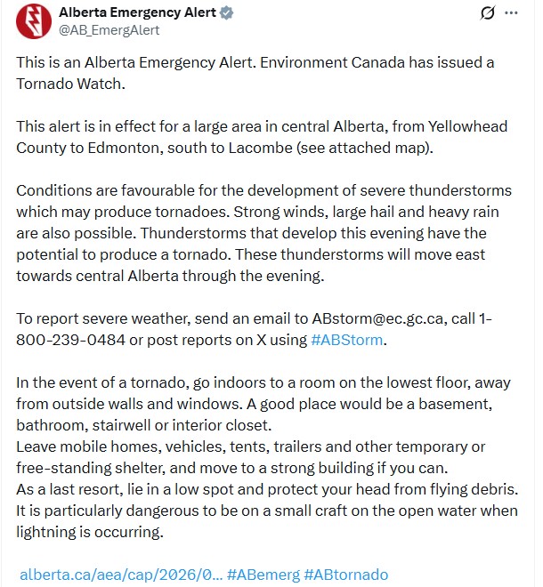
Environment Canada issued it on the afternoon of July 14. The watch covers a large area of central Alberta, from Yellowhead County east to Edmonton and south to Lacombe.
Conditions are favourable for severe thunderstorms capable of producing tornadoes, the agency says. Strong winds, large hail and heavy rain are all possible alongside that. Storms developing this evening have the potential to produce a tornado, and they will move east through central Alberta as the night goes on.
Which communities are in the path
The watch zone stretches from Yellowhead County in the west across to Edmonton and down toward Lacombe. That takes in Parkland County and the communities in it, including Spruce Grove and Stony Plain, along with Leduc to the south of the city.
The storms are coming from the west and tracking east. That means the western communities see them first, and Edmonton, St. Albert, Sherwood Park and points east are downstream as the line pushes through the evening.
For most of the region this is not an immediate threat. It is a few hours of lead time, and it is worth using.
A watch is not a warning
A watch means the ingredients are there. The atmosphere is unstable enough that a tornado could form. Nothing has been spotted.
A warning means one is happening, or is about to. Those arrive with less than half an hour of notice, sometimes far less.
Right now you are in the first category. Charge your phone. Bring the patio furniture in. Get the car under cover if you can. And decide now which room you would go to, because that is a much harder decision to make when the sky turns and your phone starts screaming.
Where to go if a warning is issued
Go indoors, to a room on the lowest floor, away from outside walls and windows. A basement is best. Failing that, a bathroom, stairwell or interior closet.
Leave mobile homes, vehicles, tents and trailers. They offer no protection, and they are where the deaths happen. Move to a strong building if you can.
As a last resort, lie in a low spot and protect your head from flying debris.
If you are on the water in a small craft, get to shore. Open water during lightning is one of the most dangerous places you can be.
Why this season has been so relentless
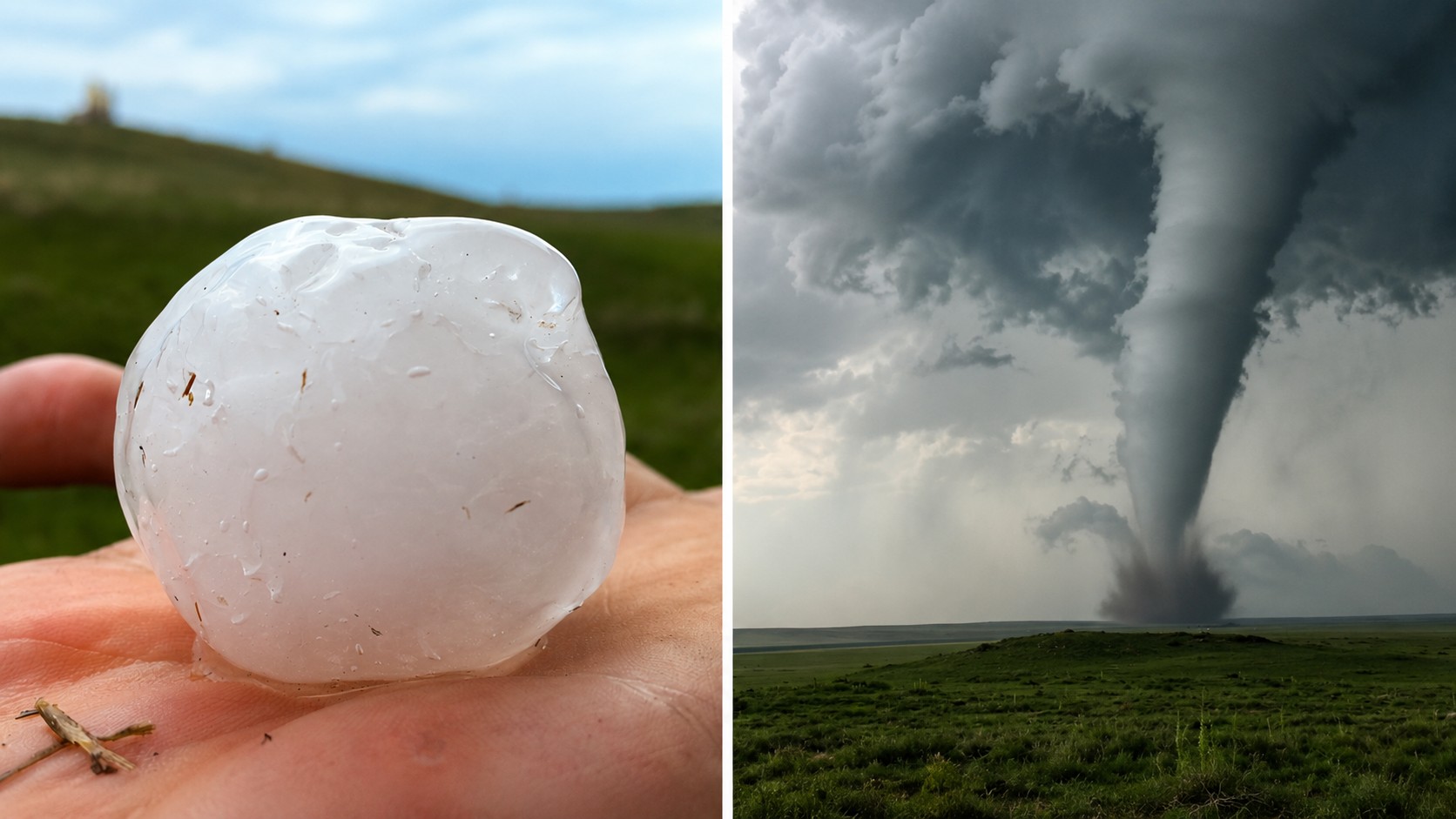
The numbers aren't normal. The Northern Tornadoes Project has confirmed 57 tornadoes across Canada so far this year, 46 of them on the Prairies, a pace its director says the country hasn't seen this early since the 1980s. Alberta is up more than 50 per cent on last year, and it's only mid-July.
The mechanism is simple enough. Severe storms need three things at once: moisture, instability to drive air upward, and wind shear, meaning wind that changes speed or direction with height, to set the column spinning. All three together give you a supercell. A supercell can give you a tornado.
Alberta has had all three, over and over. The heat has loaded the air with moisture and energy, the systems coming off the mountains have supplied the shear, and instead of one storm clearing the pattern out, the pattern keeps resetting. That is why the alerts have come almost daily rather than once.
Edmonton hasn't finished cleaning up the last one
The timing is rough.
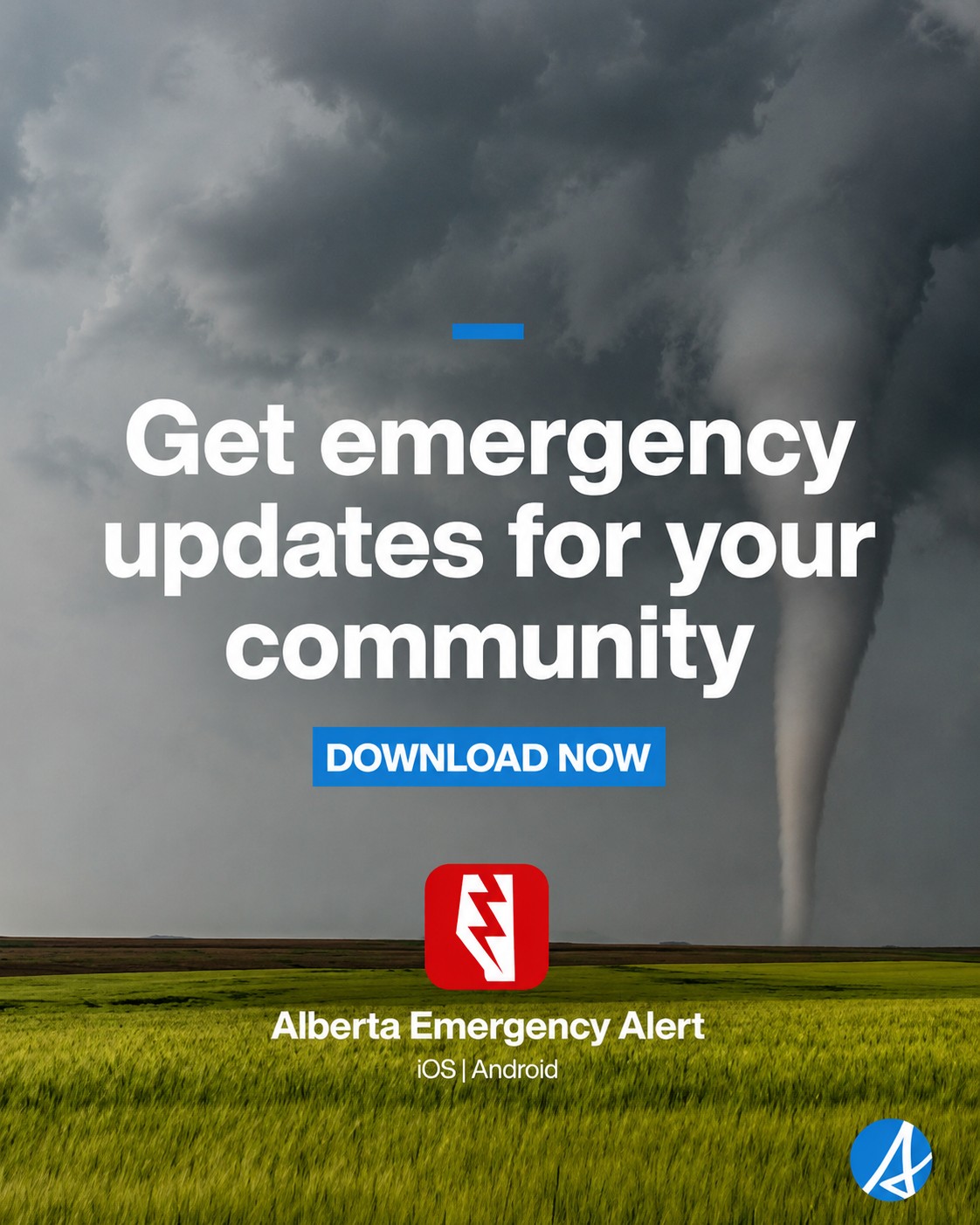
Friday's storm flooded roads across the city, tore down trees and traffic signal poles, and put water inside city recreation centres. Edmonton Fire Rescue Services took a record-high volume of calls. Telus World of Science is still closed, along with the Peter Hemingway Aquatic Centre and Grand Trunk's main pool. We covered the damage here: https://www.culturealberta.com/articles/edmonton-storm-damage-telus-world-of-science-and-two-pools-still-closed-fire-crews-hit-record-call-v
Nearly 14,000 EPCOR customers lost power in that storm. Crews are still hauling branches out of the river valley.
The ground is saturated and the drains have been working overtime for days. Heavy rain landing on soaked earth has nowhere to go. That is how a city floods twice in one week.
A week of this
Tonight's watch is the latest in a run of near-daily tornado alerts across central and eastern Alberta.
Two tornadoes were confirmed on July 8. One tore through the Dillberry Lake Provincial Park campground, flipped a trailer and sent three people to hospital. The park is still closed. Tornado warnings followed for Barrhead, Ponoka, Yellowhead and Parkland counties.
It is nowhere near done. An Environment Canada meteorologist told CBC News that Alberta can expect more tornado activity over the next six weeks.
Staying informed
Alberta Emergency Alert pushes the serious warnings straight to your phone. Environment Canada's alert page at weather.gc.ca carries the live watches and warnings for your exact location, which matters tonight, because the threat is crossing the province rather than sitting over one place.
To report severe weather, Environment Canada takes reports at ABstorm@ec.gc.ca, by phone at 1-800-239-0484, or on X using #ABStorm.
We will update this story if the watch is upgraded to a warning.
Sources:
Alberta Emergency Alert, tornado watch for central Alberta, issued July 14, 2026 (alberta.ca/aea)
Environment and Climate Change Canada, tornado watch statement, July 14, 2026 (weather.gc.ca)
Northern Tornadoes Project, Western University, 2026 season tornado counts and July 8 confirmations
EPCOR, outage figures from the July 10 storm
City of Edmonton, weekend storm impacts, July 13, 2026
Culture Alberta, our coverage of the storm damage: https://www.culturealberta.com/articles/edmonton-storm-damage-telus-world-of-science-and-two-pools-still-closed-fire-crews-hit-record-call-v







Comments
Conversation