Updated Tuesday, Oct. 27, with Environment Canada’s 4 p.m. forecast.
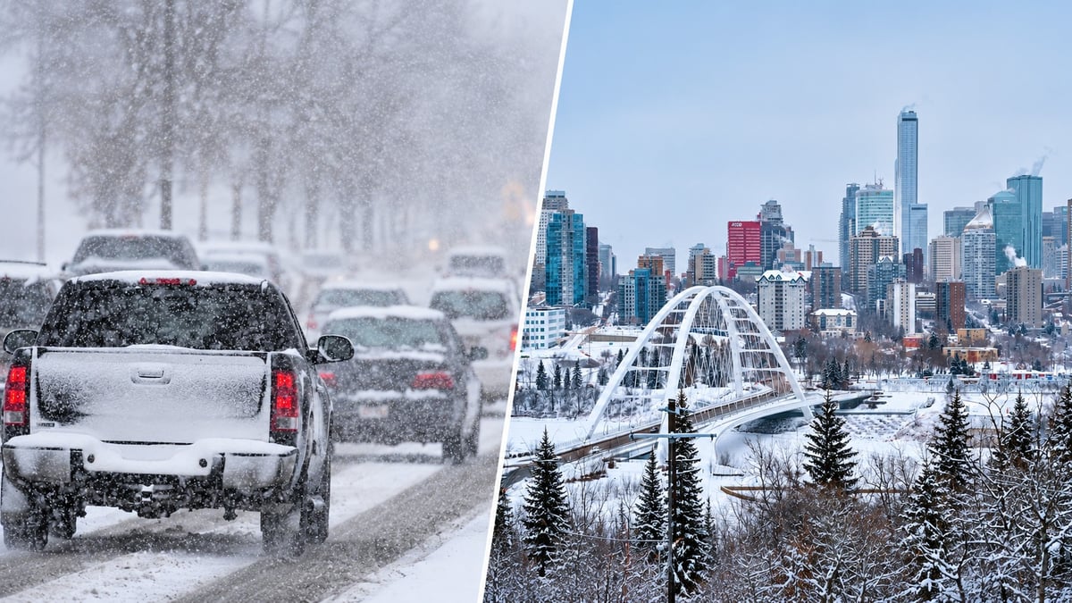
Last weekend, Fort McMurray got buried and Edmonton stayed dry. This time, Edmonton is in the path.
Environment and Climate Change Canada issued a special weather statement Tuesday afternoon for parts of central Alberta, including the Edmonton region. The first line says it plainly:
“The first significant snowfall of the year is expected.”
The snow is expected to start Tuesday evening and continue until Thursday morning. Totals may reach 15 cm in parts of central Alberta.
How much snow will Edmonton get?
The 15 cm figure is the high end for the whole area under the statement. It doesn’t mean every Edmonton neighbourhood will get that much.
Environment Canada’s latest Edmonton forecast, issued at 4 p.m. Tuesday, breaks it down:
| When | Forecast |
|---|---|
| Tuesday night | Snow, mixed with rain at first. 2 to 4 cm. Low of -1°C. |
| Wednesday, Oct. 28 | Snow. 2 to 4 cm. High of -2°C, northwest gusts to 40 km/h. |
| Wednesday night | Snow. About 2 cm. Around -3°C. |
| Thursday, Oct. 29 | Cloudy, 60 per cent chance of flurries. High of -1°C. |
Add it up and Edmonton is looking at roughly 6 to 10 cm through Wednesday night, with more possible in spots where the snow comes down heaviest.
Two rough commutes
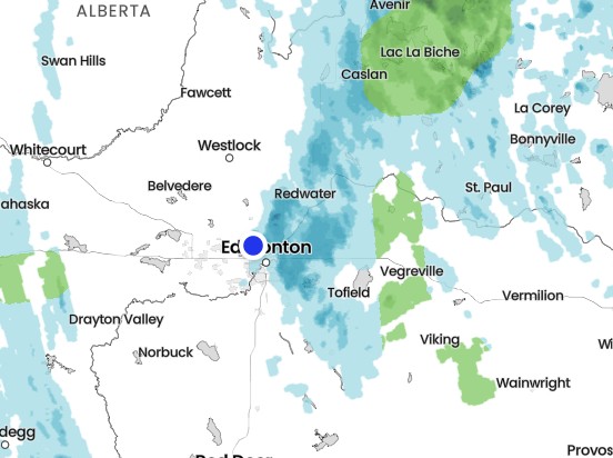
The snow starts Tuesday evening, but the real problems start Wednesday morning.
It’s expected to fall off and on through Wednesday and into Thursday, so both morning commutes and the Wednesday evening drive could be slow.
“There may be a significant impact on rush hour traffic,” the statement says. Environment Canada’s advice: “Allow extra time for travel. Prepare for quickly changing and deteriorating road conditions.”
If you’re driving between Edmonton and nearby communities, check 511 Alberta at 511.alberta.ca before you go.
Going to the Oilers-Flames game?
The Oilers host the Calgary Flames at Rogers Place on Wednesday, Oct. 28, with puck drop at 6:30 p.m. It’s the first Battle of Alberta in Edmonton this season, and it lands right in the middle of the snow.
Leave early. Snowy roads plus rush hour plus pre-game traffic is a lot.
Think about the LRT. MacEwan Station is right by Rogers Place, and Churchill Station is a short walk away.
Plan for the drive home. It’ll still be below freezing after the game, and roads may be worse than when you arrived.
Could Edmonton declare a parking ban?
Maybe. Not every snowfall triggers one, and the City hadn’t announced a ban as of Tuesday evening.
If the City does call one, it gives at least eight hours’ notice before enforcement starts. Edmonton uses two phases:
Phase 1: arterial roads, business districts and collector roads with seasonal no-parking signs
Phase 2: residential and industrial roads, including alleys and cul-de-sacs
During a Phase 2 ban, the City opens alternative parking at about 115 individual stalls and 20 full lots at City facilities, parks and Edmonton Public Library branches. Cars parked there won’t be ticketed or towed while the ban is on in the surrounding neighbourhood.
Once a ban is active, the City’s Roadways Snow Clearing Map shows which streets have been cleared. Check edmonton.ca/snow for announcements.
Which communities are affected?
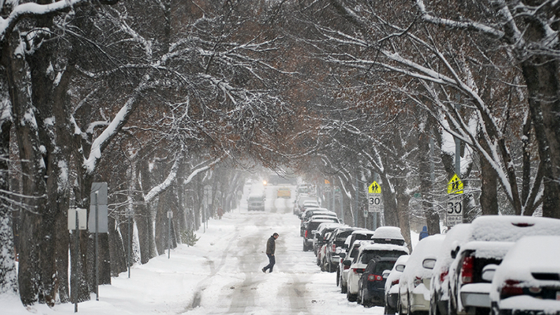
The special weather statement covers Edmonton and surrounding communities, including St. Albert and Sherwood Park.
If you’re in Spruce Grove, Stony Plain, Leduc, Morinville, Camrose, Drayton Valley or elsewhere in central Alberta, check Environment Canada’s alerts for your area. Amounts can vary depending on where the heaviest snow sets up, and alerts can change as the system moves through.
Get your car ready tonight
If you haven’t winterized yet, Tuesday night is the time:
Winter washer fluid that won’t freeze
A brush and scraper in the car
Clear every window and all your lights, not just a peephole in the windshield
Warm layers in case you get stuck, especially on highway trips
Winter tires, if you can get them on in time
And leave extra space. The first real snowfall is usually when crashes spike, because nobody has adjusted their driving yet.
Will it last through Halloween?
No. Environment Canada’s forecast shows things turning around after Thursday:
Friday, Oct. 30: sunny, high near 1°C
Saturday, Oct. 31 (Halloween): sunny, high around 3°C, dropping below freezing overnight
Sunday, Nov. 1: a high around 7°C
The snow is coming fast, but it shouldn’t stick around long. Trick-or-treaters may still want an extra layer once the sun goes down.
Report what you’re seeing
Environment Canada takes public weather reports:
Email: ABstorm@ec.gc.ca
Call: 1-800-239-0484
Social media: #ABStorm
Is it snowing in your part of Edmonton yet? Tell us in the comments.
Sources
Environment and Climate Change Canada, Special Weather Statement for central Alberta, updated Oct. 27, 2026, 1:24 p.m.: https://weather.gc.ca/?layers=alert&province=AB
Environment and Climate Change Canada, Edmonton 7-day forecast, Oct. 27, 2026, 4 p.m.: https://weather.gc.ca/en/location/index.html?coords=53.53,-113.49
City of Edmonton, Snow and Ice Control: https://www.edmonton.ca/snow
City of Edmonton, Parking ban alternative parking: https://edmonton.ca/transportation/on_your_streets/seasonal-parking-ban
511 Alberta, road conditions: https://511.alberta.ca/








Comments
Conversation