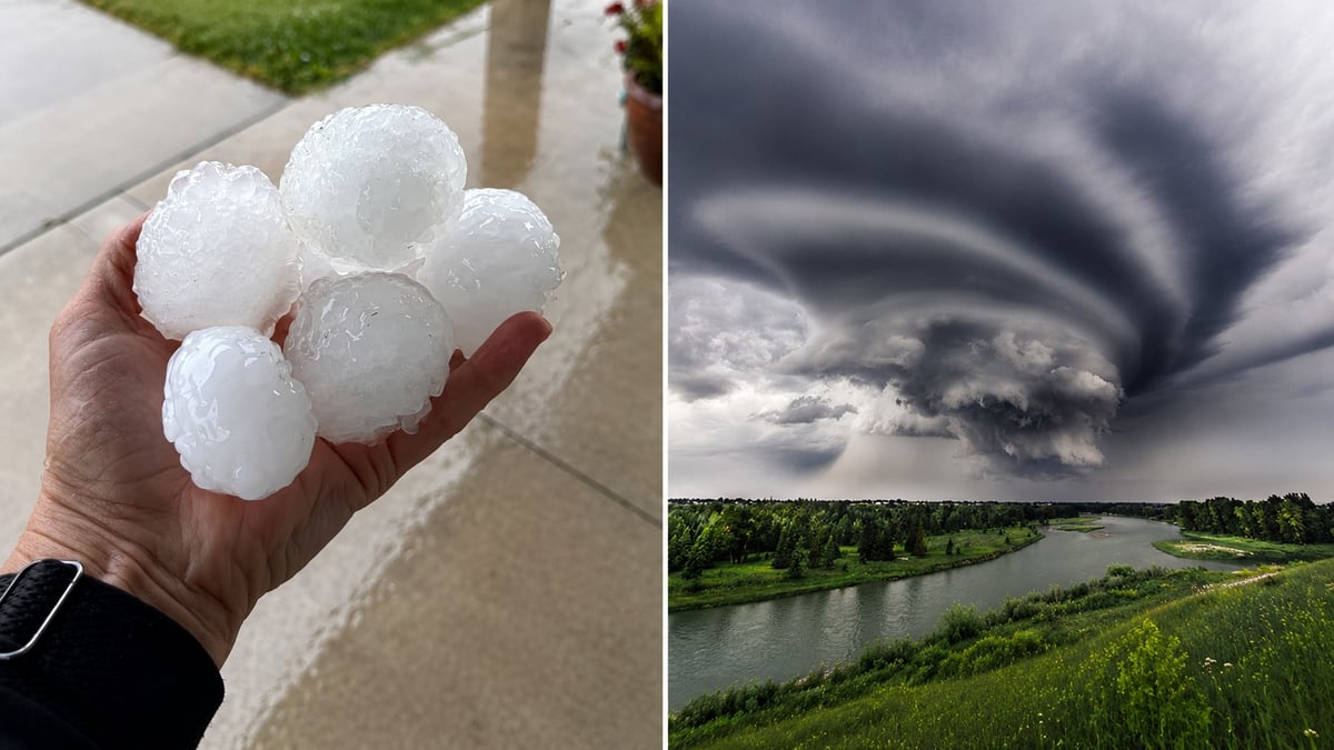
Alberta is in for another rough weather afternoon, and this one has the ingredients for very large hail, punishing winds, and an outside chance of a tornado.
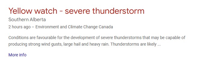
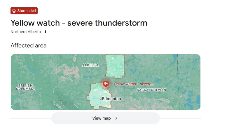
Environment and Climate Change Canada placed much of the province under a severe thunderstorm watch for July 8, meaning the atmosphere is primed for storms that can turn dangerous fast. The agency expects storms to fire through the afternoon and roll into the evening, with the strongest cells capable of large hail, damaging gusts, and torrential downpours.
The threat is moving, and that's the whole story today
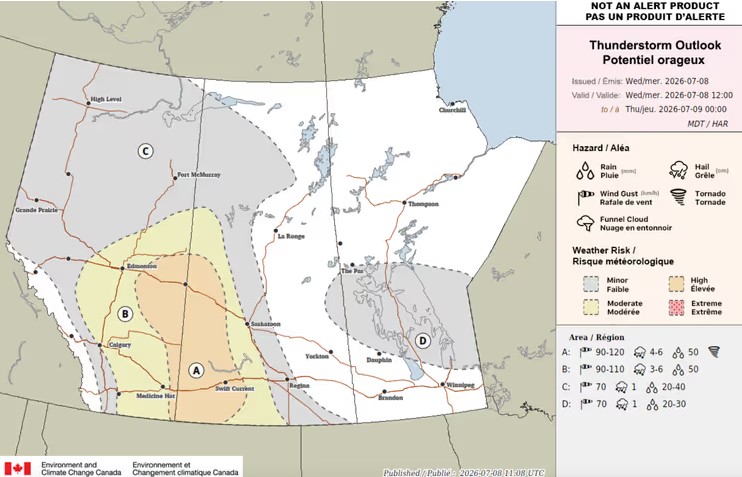
Here's the part that matters more than any single number: this is a shifting target. Forecasters have the severe risk sliding through northern and central Alberta as the afternoon goes on, with storms strengthening as they track east toward the Saskatchewan border. Areas in the path include Edmonton, Slave Lake, Cold Lake, Fort McMurray, and out toward Wainwright, with the storm line potentially throwing wind gusts over 100 kilometres an hour as it organizes.
Because the risk zone is on the move, the town that looks quiet at noon can be under the gun by dinner. Check the live watch for your exact location before you commit to any outdoor plan, and again before you drive.
What the strongest storms can actually do
When Alberta storms go severe in July, the hail is the headline. The most intense cells this week can drop stones in the golf-ball to baseball range, big enough to crack a windshield, dent a roof, and hurt anyone caught outside. Add gusts topping 100 kilometres an hour ahead of the storm line and rain that falls by the tens of millimetres in minutes, and you have the conditions that do real property damage across the province every summer.
The tornado risk is the one people fixate on, and it's worth being straight about it: low, but not zero. A developing system can introduce just enough spin for a brief tornado, and Environment Canada doesn't rule it out on days like this.
Why this keeps happening in Alberta
If it feels like the province has been under a storm watch every few days, that's because it has. Alberta is deep in the most volatile stretch of its severe weather calendar.
Big summer thunderstorms need three things to come together: moisture in the air, instability to drive that air upward, and wind shear to organize the storm. Those ingredients line up far more often in July than in spring, which is why a mild June routinely gives way to a violent July on the Prairies. The province has already logged a run of confirmed tornadoes this season, most of them weak landspouts in southern Alberta that did no damage. But not all: a stronger supercell earlier in the season damaged homes near Girouxville and Nampa in the Peace River region, without injuring anyone. The range this summer runs from harmless to genuinely destructive, and you can't always tell early which one is coming.
What to do if you get hail warning signs before an alert
Storms can outrun the alerts, so it helps to read the sky. A few signs worth knowing: a greenish tint to dark storm clouds often signals a hail-heavy cell, a sudden drop in temperature and a hard shift in wind frequently mean the storm's leading edge is right on top of you, and a low, rotating wall of cloud is the one that warrants getting to shelter immediately rather than filming it.
If you're at home, moving vehicles into a garage or under cover before the storm arrives can save you a five-figure hail claim. If you can't, angling a car away from the direction the storm is coming from at least reduces windshield exposure. None of this replaces an official warning, but on a fast-moving day it can buy you the few minutes that matter.
Watch versus warning, and why the difference matters
A watch, which is what most of Alberta is under right now, means conditions favour severe storms. A warning means it's happening or about to, and for a tornado that warning can arrive with less than half an hour of lead time. If your phone buzzes with a warning, that's not a heads-up to monitor. It's the cue to move to shelter.
If a storm hits you
Get inside a solid building, off the top floor if there's a tornado warning, and away from windows once the hail starts. If you're driving into large hail, pulling over somewhere safe usually beats pushing through it, since baseball-sized stones can shatter a windshield in seconds. If you're caught in open country under a tornado warning, low ground away from your vehicle is safer than staying in it.
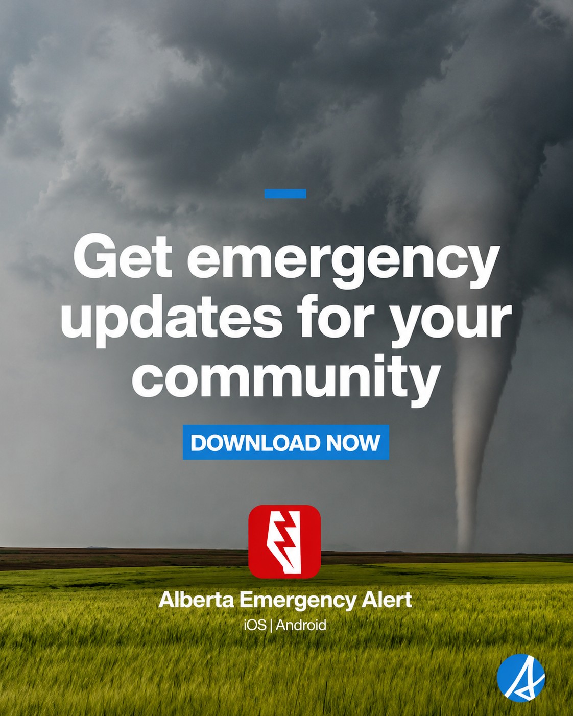
For your location's live status, Environment Canada's alert page at weather.gc.ca is the fastest official read, and Alberta Emergency Alert will push the most serious warnings straight to your phone. If you witness severe weather yourself, ECCC takes public reports at 1-800-239-0484 or on X with the hashtag #ABStorm.
Sources:
Environment and Climate Change Canada, severe thunderstorm watch and Storm Prediction Centre outlook for Alberta, July 8, 2026 (weather.gc.ca)
Environment Canada, public weather alert criteria and definitions (canada.ca)
Northern Tornadoes Project, Western University, 2026 Alberta tornado confirmations
Alberta Emergency Alert (emergencyalert.alberta.ca)
Instagram caption:





Comments
Conversation