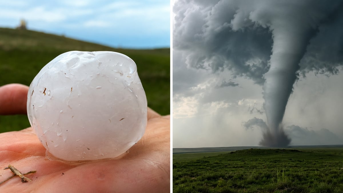
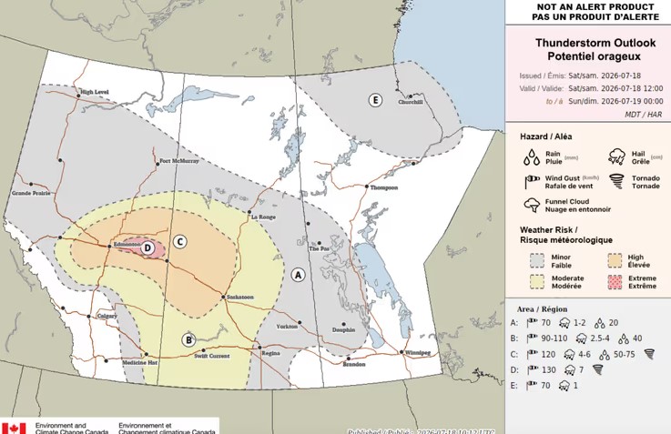
Environment and Climate Change Canada has flagged Saturday as a potentially dangerous severe weather day for central Alberta, placing an extreme storm risk zone just east of Edmonton and warning that any storms that form could produce strong or multiple tornadoes.
The extreme risk area stretches from east of the city nearly to the Saskatchewan border. Forecasters say storms there could bring wind gusts to 130 km/h and hail up to seven centimetres, about the size of a baseball, along with a higher-end tornado risk.
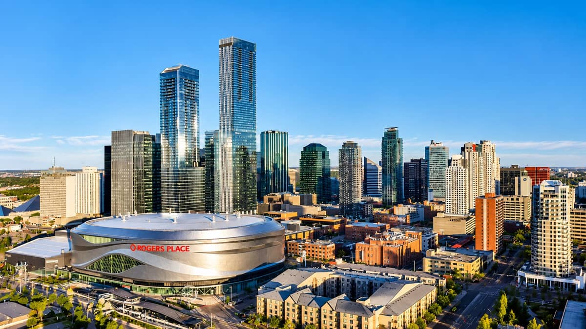
Edmonton itself is in the high risk zone immediately beside it, along with Spruce Grove, St. Albert, Leduc, Devon and Drayton Valley. That zone carries gusts to 120 km/h, hail to six centimetres, rainfall up to 75 millimetres and a tornado risk of its own.
No watches or warnings were in effect for the region as of late Saturday morning. Forecasters say the setup needs close monitoring beginning this afternoon.
Forecasters call the setup nearly unheard of for Alberta
The concern comes from ECCC's Prairie and Arctic Storm Prediction Centre, whose forecasters described Saturday's atmospheric energy values as "nearly unheard of in Alberta." Weather models keep producing readings above 3,000 joules per kilogram for a measure called CAPE, which is essentially the fuel available to thunderstorms. Alberta storms routinely cause major damage on half that amount.
The forecast discussion also identifies where the tornado threat is likely to peak: the intersection of a dryline and a cold front, a collision point that model runs have been steadily shifting north and west, from the Saskatchewan border toward the Edmonton metro area. Any storms that form in that environment will likely be dangerous, the discussion states, adding that this pattern has historically been associated with "long-track, tornadic supercells."
That phrase carries weight in this city. A long-track tornadic supercell produced the Black Friday tornado that killed 27 people in Edmonton on July 31, 1987. Forecasters are not predicting a repeat. They are noting that Saturday's ingredients belong to the same category of setup, which is rare enough in Alberta that the forecast discussion says so directly.
Timing and what the alerts mean
Alberta summer storms typically fire from mid-afternoon into the evening, putting the highest-risk hours between roughly 3 p.m. and 10 p.m.
If conditions come together, ECCC will issue a severe thunderstorm watch or tornado watch first, meaning storms could develop. A warning means a dangerous storm or tornado has been detected and immediate action is needed. Tornado warnings in Alberta also trigger the Alberta Emergency Alert system, which pushes directly to phones in the affected area.
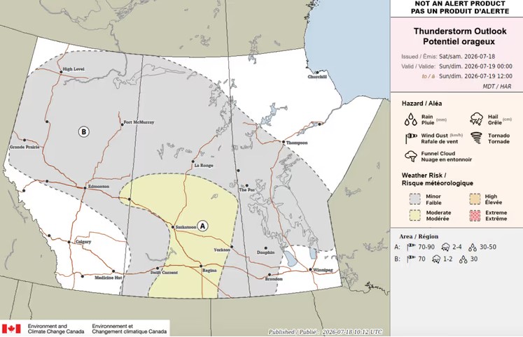
The threat continues in reduced form overnight. Sunday's early outlook holds a minor storm risk across most of the province, with a moderate risk near Lloydminster carrying 70 km/h gusts, small hail and up to 30 millimetres of rain.
What to do if a warning is issued
Provincial guidance calls for getting to a basement if one is available, or a small interior ground-floor room such as a bathroom, closet or hallway, with windows and doors closed. Anyone caught outdoors without shelter should get to low ground, lie flat and protect their head. The province warns against trying to outrun a tornado in a vehicle, since tornadoes move faster than they appear to and can change direction without warning.
Not every tornado produces a visible funnel, particularly when wrapped in rain. If a warning is active, take shelter without waiting to see one.
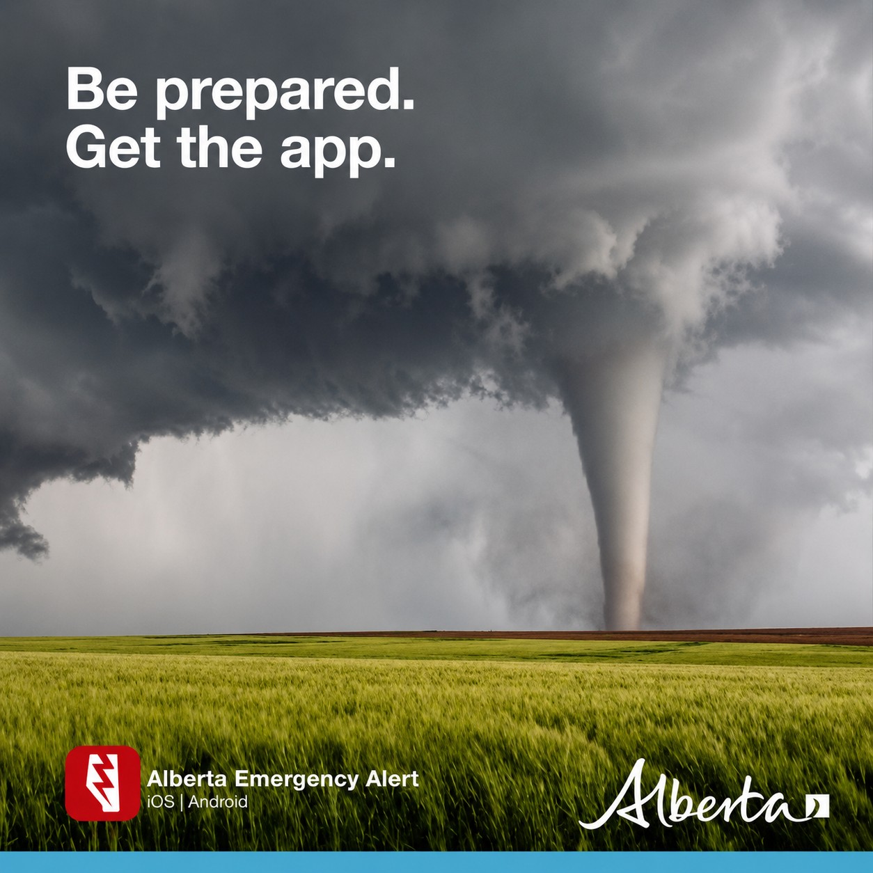
Current watches and warnings are posted at weather.gc.ca, and the Alberta Emergency Alert app delivers warnings directly to phones based on location.
The third tornado threat in a week for central Alberta
Saturday's risk lands in the middle of one of the most active storm stretches Alberta has seen this summer. A tornado watch covered Edmonton, Spruce Grove, Stony Plain and Leduc earlier this week
(https://www.culturealberta.com/articles/tornado-watch-for-edmonton-spruce-grove-stony-plain-and-leduc-tonight-large-hail-heavy-rain-and-dama), followed by a watch for Red Deer and central Alberta
(https://www.culturealberta.com/articles/red-deer-tornado-watch-storms-move-south-into-central-alberta-tonight-with-large-hail-and-damaging-w) and another for Lethbridge and the south on Friday
(https://www.culturealberta.com/articles/tornado-watch-issued-for-lethbridge-and-southern-alberta-hail-damaging-winds-and-a-tornado-risk-toda).
The season has already produced damage. Earlier this month, a tornado tore through the Dillberry Lake campground near Lloydminster and sent campers to hospital (https://www.culturealberta.com/articles/alberta-tornado-tears-through-dillberry-lake-campground-near-lloydminster-campers-sent-to-hospital), in the same east-central corridor that sits under Saturday's extreme risk zone.
What separates today from the rest of the week is the forecast language. The earlier threats came with standard watch wording. This one arrived with forecasters flagging fuel values they say Alberta almost never sees, before a single watch was issued.
Sources:
Environment and Climate Change Canada, Prairie and Arctic Storm Prediction Centre significant weather discussion and thunderstorm outlooks, July 18, 2026
Environment and Climate Change Canada, public weather alerts for Alberta
Government of Alberta, tornado and extreme wind safety guidance





Comments
Conversation