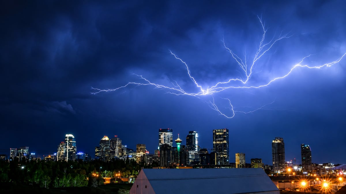
The power went out twelve minutes after the warning.
Environment Canada issued a severe thunderstorm warning at 9:23 p.m. Saturday for Rocky View County near Airdrie and Crossfield. At 9:35 p.m., FortisAlberta logged an outage that would grow to more than 2,100 customers across northwest Airdrie and surrounding Rocky View County.
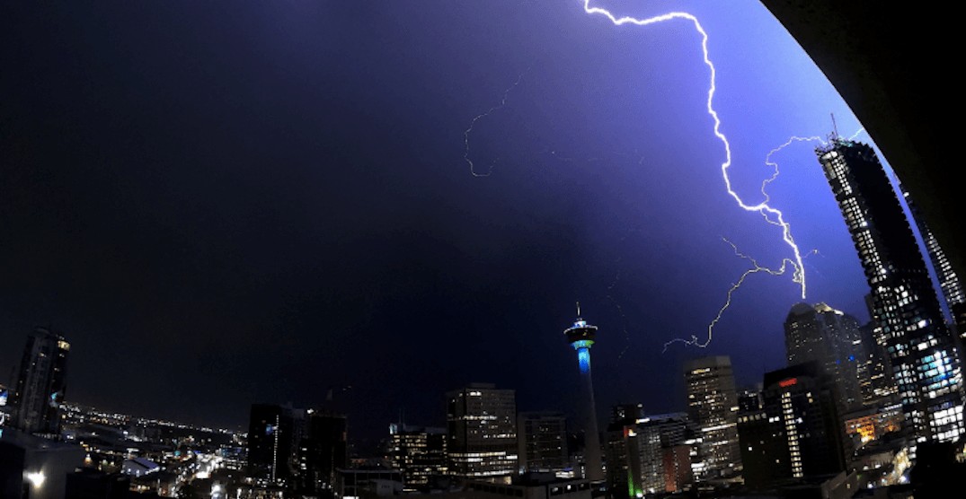
It started at 1,675 and climbed to 2,118 through the evening. The cause was listed as unknown and under investigation while crews worked. No restoration estimate was given.
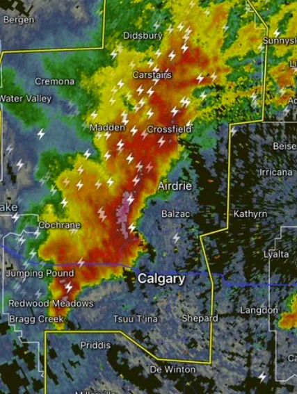
Radar the evening of August 8 showed the storm's heaviest core over Crossfield, Airdrie and Madden, moving east at 60 km/h, with heavy returns stretching up through Carstairs and Didsbury and down past Cochrane and Jumping Pound. The cells moved fast, with warnings issued and expiring within the hour.
Which communities were hit
The corridor north and west of Calgary took it hardest.
Crossfield and Airdrie sat under the most intense part of the core, with the highest hail risk and the strongest wind. Madden and Carstairs, west and north, were in the line as it moved through. Cochrane fell under the heavier returns on the southwest flank.
Calgary caught the southern edge rather than the core. Residents in the southwest reported thunder, lightning and heavy rain, with a sharp drop in temperature as it passed.
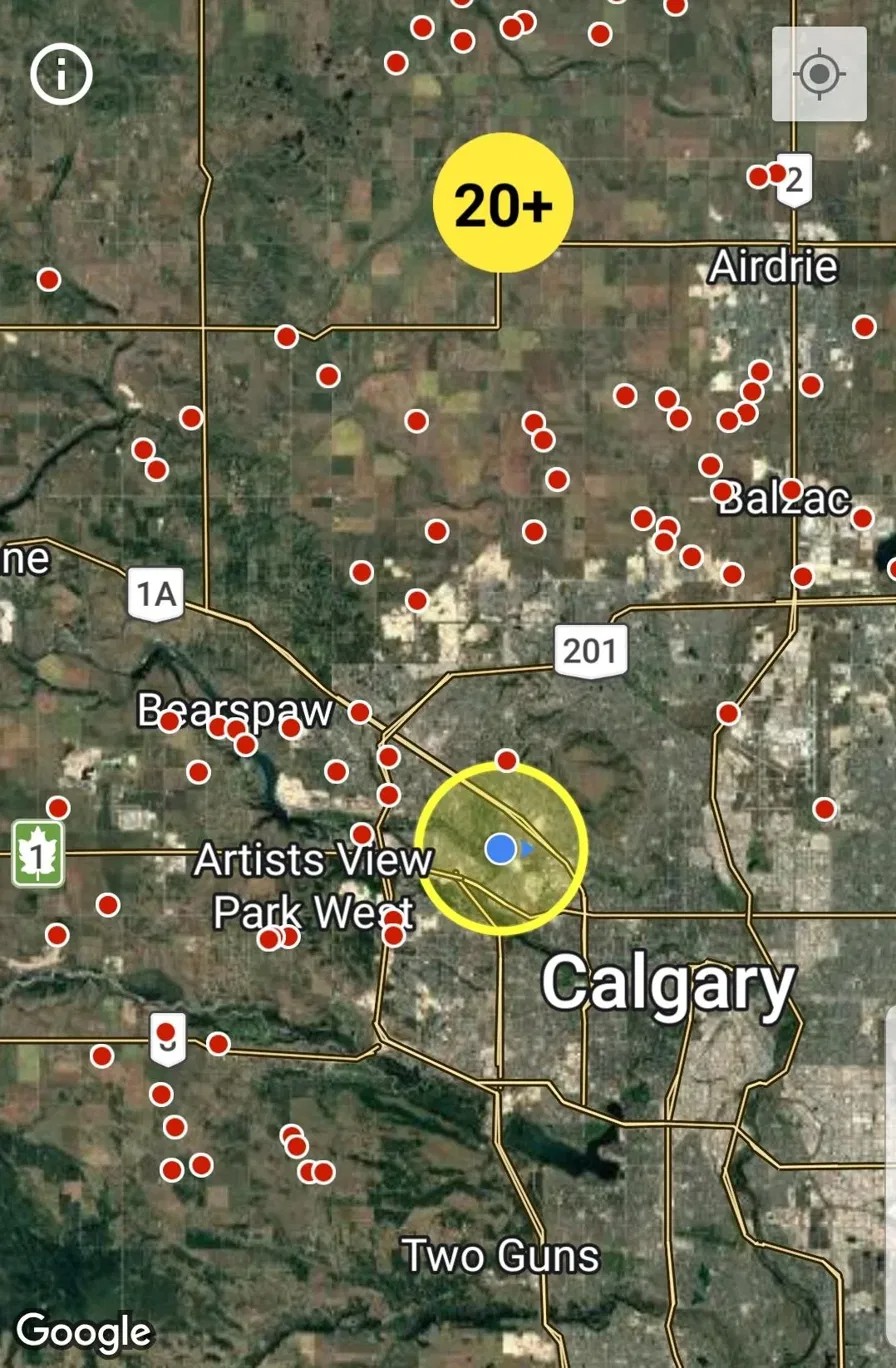
The outage map afterward told the story better than the radar did. A dense band of outages ran from Bearspaw through Balzac to Airdrie, tracing the storm's path almost exactly, with scattered outages continuing down into northwest Calgary.
At 9:22 p.m. the line ran from near Crossfield to near Norman Lake. By 9:54 p.m. it stretched from just east of Crossfield to 10 kilometres west of Calgary.
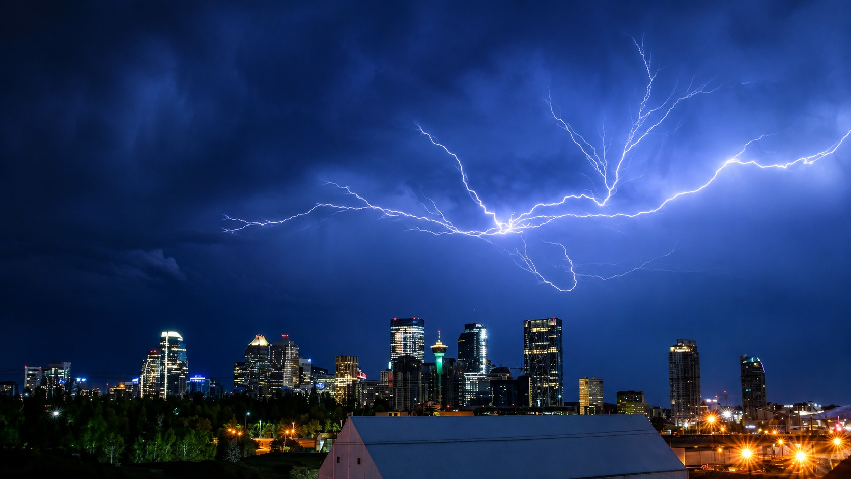
The outages ran past midnight
Northwest Calgary residents reported losing power entirely, with whole neighbourhoods dark.
One resident posted at 1:46 a.m. that their power had just come back, roughly four hours after the storm moved through.
Environment Canada's warning language had been direct: damage to roofs, fences, soft shelters or trees is likely, and large hail may cause significant damage and injury.
What to do if you lost power or have damage
Photograph spoiled food before you throw it out. Date-stamped phone photos are accepted for claims.
Note the outage start and end times. Your distributor's outage map archives this, so take a screenshot while it's still up.
Save receipts for replacement groceries, prescription refills and any damaged electronics. Claims go through your distributor within 30 days, FortisAlberta for Airdrie and Rocky View County, ENMAX inside Calgary. Disputed claims go to the Alberta Utilities Commission.
For storm damage, photograph everything before you clean up. Check your roof, siding, windows and any vehicle parked outside. Hail damage to a roof often isn't visible from the ground, and it becomes a water problem six months later. Call your insurer early, because claim queues after an Alberta hailstorm fill within days.
Report power problems or downed lines to FortisAlberta at 310-WIRE. Treat any downed line as live, stay well back, and call 911 if anyone is near it.
Calgary's first storm in 19 days
This is the first thunderstorm the city has had since July 20.
It's been a quiet season by Calgary standards. Weather reporter Kyle Brittain has the city at 13 thunderstorm days so far this year against a normal-year average of 24, roughly half the usual activity.
Brittain also noted this week he was watching for whether Calgary might see its annual August hailstorm over the next few nights. That question isn't idle. The costliest hailstorm in Canadian history hit the city on August 5, 2024: hailstones the size of hen eggs, more than 130,000 insurance claims, roughly $2.8 billion in insured losses across a damage swath 120 kilometres long and 12 wide. That was three days and two years ago.
Why the storms come from the northwest
The line tonight followed a route Calgary storms take often enough that people who watch radar recognize it. Down from Olds and Didsbury through Carstairs and Crossfield, into the Airdrie corridor, clipping the city's north and west.
That path exists because of where Calgary sits. The city is an hour off the Rockies on high ground, in the part of the country meteorologists call Hailstorm Alley. Warm air pushes up against the foothills, gets lifted, and builds storms that track east and southeast across open country with nothing in the way.
It's why Airdrie and Crossfield take so many hits, and why north and northwest Calgary are so often the ones cleaning up. The 2020 storm hit the northeast. The 2024 storm hit the north. Tonight's outage map ran the same corridor.
Storms building through the afternoon over the foothills also mature by evening, which makes a 9:23 p.m. warning a normal hour for this rather than a late one.

How to stay informed
Alberta Emergency Alert pushes the most serious warnings straight to your phone, and weather.gc.ca has live watches and warnings for your exact location. Watches mean conditions are favourable. Warnings mean a storm is imminent or already happening.
If you see severe weather, Environment Canada takes reports at 1-800-239-0484, by email at ABstorm@ec.gc.ca, or on X with the hashtag #ABStorm.
More activity is possible over the coming days. The city's preparedness information is at calgary.ca/hailandhighwind.
This is a developing situation. We'll update as conditions change.
Sources:
Environment and Climate Change Canada, severe thunderstorm warning for Rocky View County near Airdrie and Crossfield, August 8, 2026 (weather.gc.ca)
FortisAlberta outage map and restoration data, August 8, 2026
CASSM Strathmore radar imagery, 9:41 p.m. MDT, August 8, 2026
Alberta Emergency Alert (emergencyalert.alberta.ca)
City of Calgary, Climate hazards: Hail and high wind
Insurance Bureau of Canada, August 2024 hailstorm insured damage









Comments
Conversation