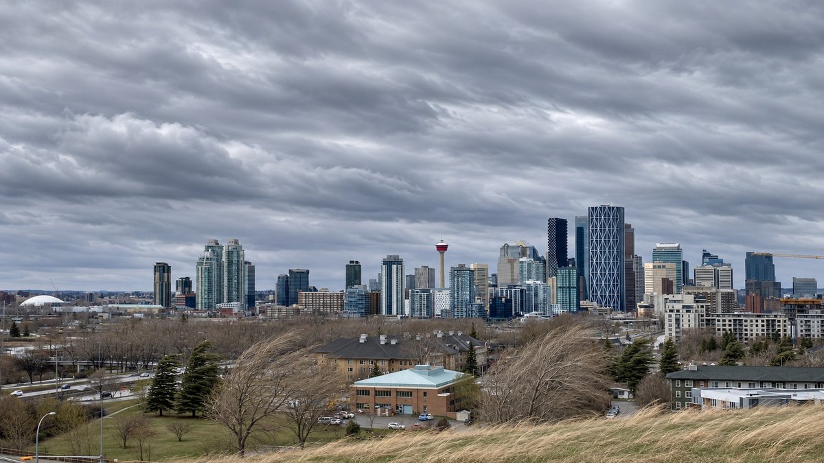
Calgary is under a wind warning tonight.
Environment Canada issued the yellow warning early Friday, calling for gusts of 90 to 100 km/h through the afternoon and evening. The winds are expected to ease gradually Saturday morning.
If you’ve got patio furniture, a trampoline or a garbage bin still outside, now’s the time.
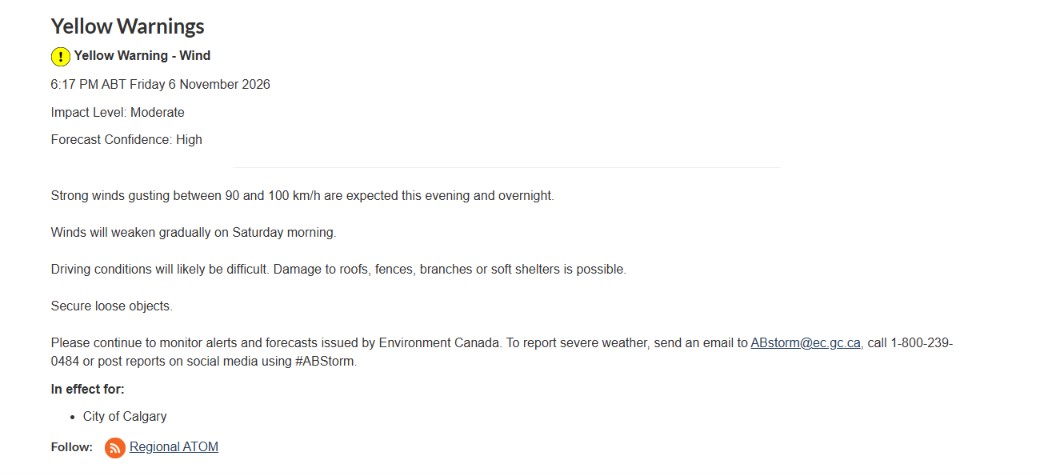
What the warning says
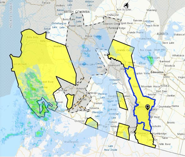
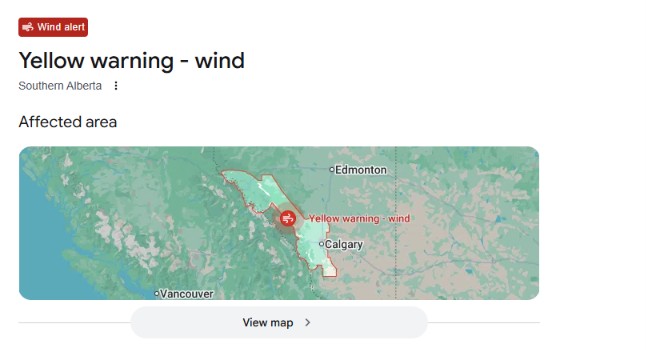
The warning covers Calgary and much of the region west and south of it, including Cochrane, Okotoks and Foothills County, and Mountain View County. A separate warning covers the Edmonton region.
The hazards, in Environment Canada’s words:
Driving may be difficult, especially for high-profile vehicles like trucks, vans and anything towing a trailer.
Loose objects may be tossed by the wind and cause injury or damage.
Roofs, fences, tree branches and temporary structures could be damaged.
Winds should weaken through Saturday morning.
What to do tonight
Tie down or bring in anything light enough to move: furniture, umbrellas, bins, trampolines, Halloween leftovers.
Park away from big trees if you can.
Slow down on Deerfoot, Stoney Trail and the Trans-Canada, and give trucks and trailers extra room. Crosswinds on the open stretches west of the city will be the worst.
If a power line comes down, stay back and call ENMAX’s 24-hour trouble line at 403-514-6100. Report outages the same way.
Downed trees or branches on city property: call 311.
Check Environment Canada’s alerts page before you head out Saturday morning.
Why it’s warm
This isn’t a cold front. It’s a chinook.
Friday’s high in Calgary was around 11 C, and Saturday is forecast at about 12 C. Warm, dry air pouring over the Rockies is what’s driving the gusts, which is why the wind is strongest along the foothills and on the west side of the city.
With no rain in the forecast and dry grass everywhere, that also raises the fire risk in the countryside west of the city. Don’t burn anything outside this weekend.
Why Calgary gets wind like this
Blame geography.
When the jet stream sits over southern Alberta, air comes screaming down the east side of the Rockies. Gaps in the mountains, like Crowsnest Pass and the Bow Valley, squeeze it and speed it up. Calgary sits right where that air spills onto the prairie.
That’s why 100 km/h in the city isn’t unusual. Up high it’s another world. The Nakiska Ridgetop weather station in Kananaskis, an hour west of Calgary, has clocked gusts over 200 km/h more than 50 times since it started recording in 1994. One Weather Network meteorologist got knocked flat up there by a 193 km/h gust.
The city has seen plenty of 100-plus days. In April, a spring system toppled trees, branches and power lines across Calgary. Last January, another big windstorm did the same.
A 100 km/h gust won’t take the roof off a well-built house. It will take the lid off your bin, the cover off your barbecue and the branch off the elm that’s been hanging over the alley for 20 years.
The weekend
Saturday morning is when it eases, but “gradually” is doing some work in that sentence. Expect it still breezy for the morning errands, and calmer by afternoon.
If you’re driving to Edmonton for the Elks’ West Final Saturday night, Highway 2 should be fine by the time you leave. Kickoff is 5:30 p.m. at Commonwealth, and the Edmonton forecast is 9 C with light wind.
Sunday looks like the best day of the weekend in Calgary: sunny, 12 C, and still. After that, highs stay above freezing all the way to Remembrance Day.
Send us your photos and videos through the link in our bio, and we’ll feature them on our page.








Comments